The village of Llanarmon-yn-Iâl is situated south east of Ruthin. The river Alyn skirts around the eastern side of the village.
Llanarmon-yn-Iâl is set high in the valley of the River Alyn as it courses northwards off the Clwydian Hills. Church and village occupy the northern lip of the valley side close to where the changing alignment of the river has created a spur. Behind the settlement the undulating limestone plateau rises gradually.
The village has a long history. Stone Age finds suggesting occupation many thousands of years ago have been discovered in caves in the village. The first mention of the settlement is in the 1254 Norwich Taxation, in which the village is evocatively recorded as ‘Sancto Garmano’.
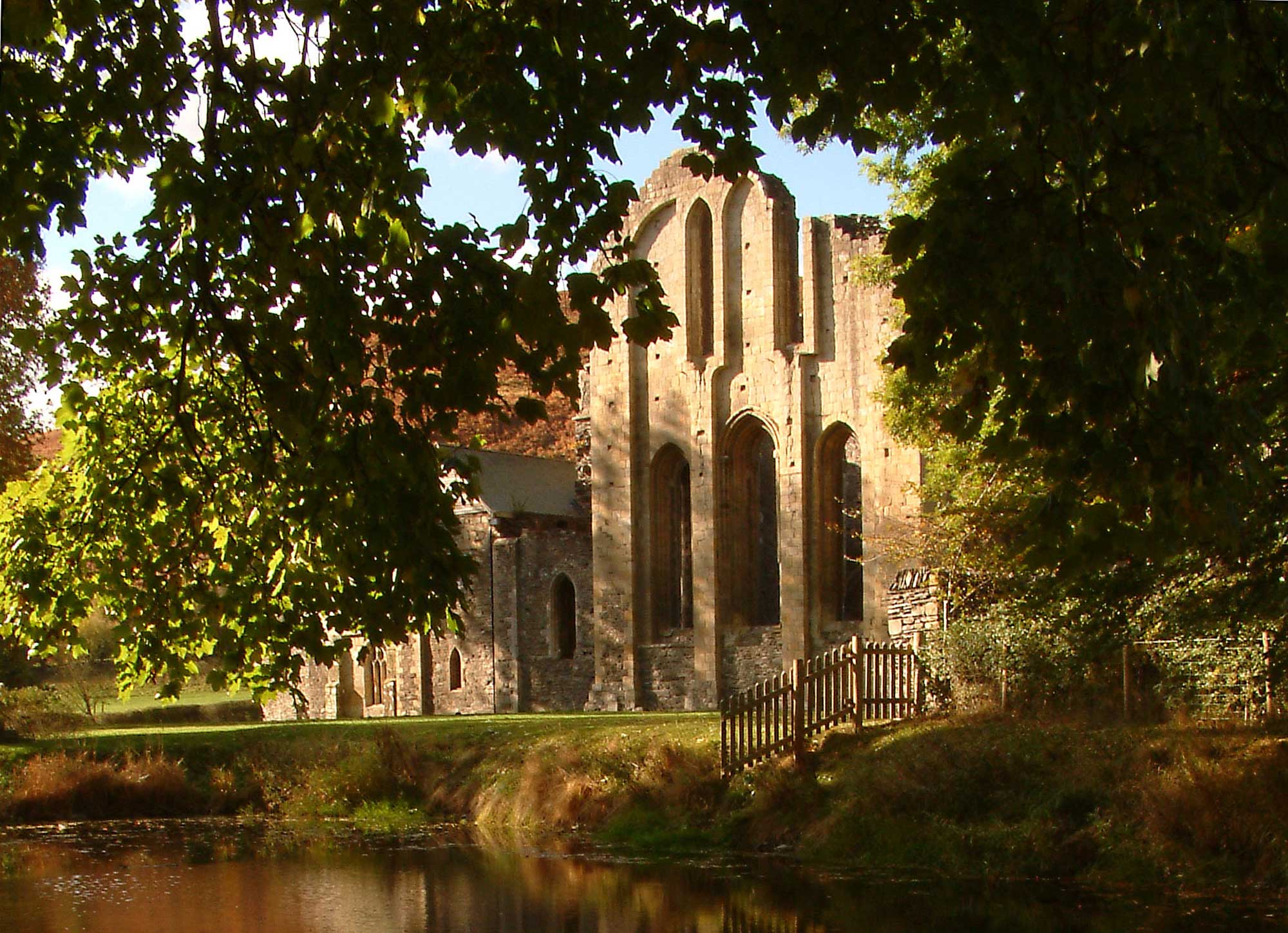
By 1314, the village has been ascribed its commotal name, ‘Thlanharmon in Yal’. It is probable that Llanarmon-yn-Iâl was the capital of the commote of Yale, and that the dedication of the church to St Garmon reflects this, as well as a very early Medieval foundation. The churchyard, of which more is discussed in the entry for the Church of St Garmon, is raised and circular which certainly suggests a pre-Conquest date, and very possibly a pre-Christian foundation.
The network of roads and lanes around the village is very interesting. It seems, despite alterations over time, that the church was a focal point on a route between Valle Crucis Abbey to the south and the northern ecclesiastical sites of Basingwerk Abbey and St Winefride’s Well in the north.
In the twenty first century, ‘housing in the settlement is a mixture of 18th/19th-century cottages and modern houses. Several of the former have date stones, the earliest of 1749 being that for Llwyn Onn.’ Llanarmon has retained its post office and the Raven Inn public house built in 1722. The old school (built in 1777) is now used as a Church Hall. The church remains open as a place of worship, as does Bethel Welsh Calvinistic Chapel.
The village of Eryrys is an old, historic mining village in the community of Llanarmon-yn-Iâl. A number of sources suggested that the name is derived from the Welsh Erw Yrys, or the “acre (erw) of Gyrys”.
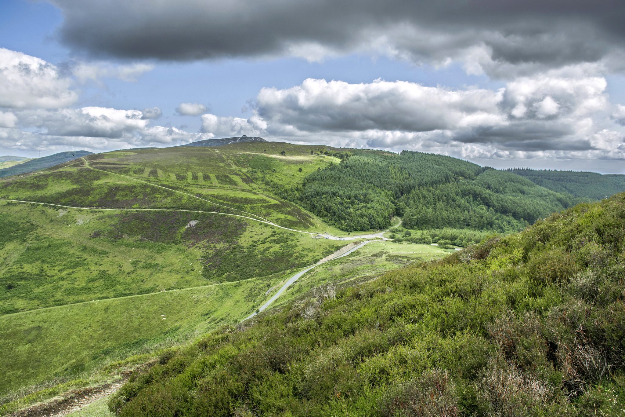
The village is built on the limestone formation of Bryn Alyn and many limestone outcrops can be seen close by.
Evidence shows that small-scale mining began here in the 13th century, but only occurring during the dry months of the year. Mining was mostly carried out by local farmers until 1735 when Grosvenor estate took over the mines after being hindered by ‘ancient mining laws’ for many years. The Westminster Mine was the most productive vein in the area and primarily mined for lead and zinc.
Further information about this area can be found on the community website.
Graig-fechan village is situated on the south-western corner of the Clwydian Range designated National Landscape area. With Graig Wyllt North Wales Wildlife Trust Nature Reserve to the north and extensive deciduous woodland this is a nucleated roadside settlement with 18th- to 19th-century cottages, chapels and 20th-century housing, set around a prominent, isolated limestone hill.
The name Graig Fechan means “small crags” in Welsh, is a village steeped in history. From ancient Celtic footprints to medieval agrarian beginnings, the village weaves a captivating tale through its stone-built cottages and St. Mary’s Church.
Graigfechan embraces both its historical roots and the tranquillity of nature, offering a gateway to the Clwydian Range. As a living historical narrative, the village strikes a harmonious balance between tradition and progress, inviting visitors to immerse themselves in its timeless charm. The village hosts a helpful website where you can explore the history in greater detail.